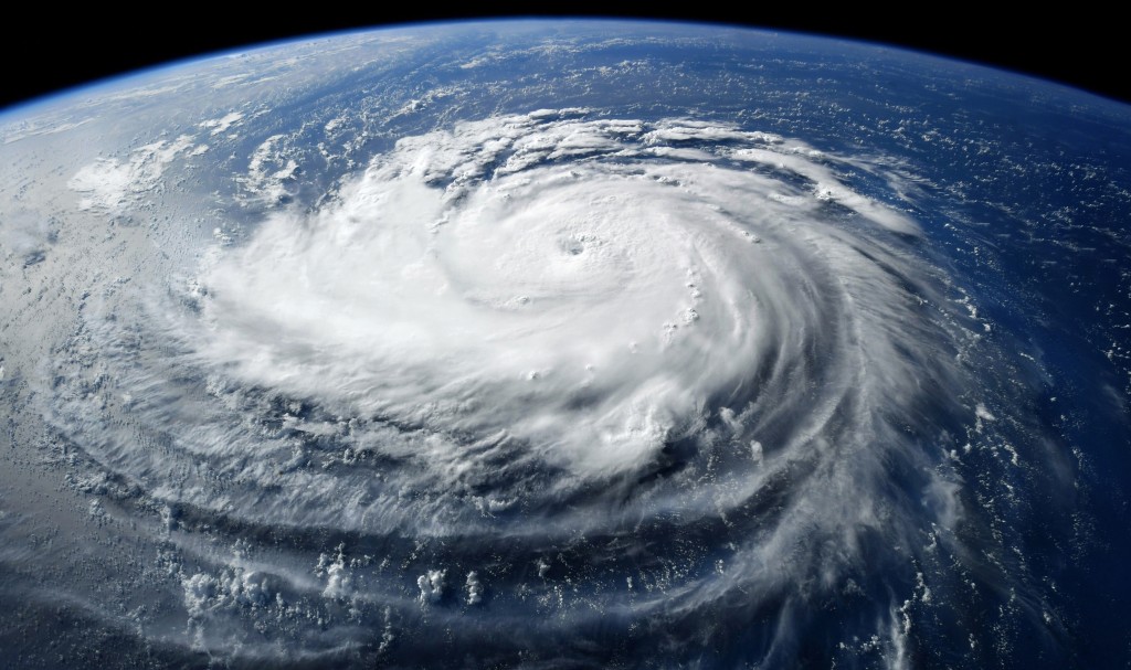
AsianScientist (Feb. 14, 2025) – Rapid intensification (RI) periods in tropical cyclones (TC) are rare, but they pose significant risks due to the difficulty in predicting them. Defined as a wind speed increase of at least 13 m/s within 24 hours, they can lead to severe damage, especially if not forecasted.
Prediction of tropical cyclones that rapidly intensify remains a challenge for meteorological agencies globally. Numerical methods for RI TC prediction have limited accuracy because they do not adequately account for all the oceanic and atmospheric conditions involved in tropical cyclone formation. Statistical models, which include satellite data and environmental factors, are still only able to predict 50 percent of RI TCs.
In recent years, deep learning methods of forecasting RI have shown potential, particularly those that incorporate satellite imagery and include environmental factors to enhance predictions. However, deep learning models still have a high false alarm rate.
Tropical cyclones are highly sensitive to environmental conditions, and current deep learning methods use only maximum and mean values, failing to precisely represent the spatial environment of the cyclone.
Another issue is the rarity of RI TC occurrences, which only account for 5 percent of tropical cyclone periods. As a result, models are trained on imbalanced data, leading to biased predictions as the majority of data available is for non-RI periods.
To combat this issue, researchers from Institute of Oceanology Chinese Academy of Sciences (IOCAS) have developed an RI TC prediction model that uses contrastive learning, called the RITCF-contrastive model. It only compares two data samples at a time – one known occurrence of RI TC, and one unknown sample to be forecasted, solving the problem of data imbalance.
The model analyses atmospheric and oceanic conditions as well as satellite infrared imagery that allows it to take the spatial features of the tropical cyclone into consideration. By analysing similarities and differences between the two datasets, the model determines if the unknown data is likely to lead to an RI TC.
In a process known as ‘voting’, the RITCF-contrastive model is run 10 times using 10 different known samples. Six or more ‘votes’ that classify the sample as an RI is considered a forecast for a rapid intensification period.
The model was trained on reanalysis data, which is a combination of real observation and short-term weather forecasts from the past. To simulate a real-time forecasting scenario with the RITCF-contrastive model, the researchers used operational data from the Northwest Pacific from 2020 to 2021, treating the data as an unknown input to test its accuracy. The model was able to predict 92.3 percent of RI periods that occurred, with a low false alarm rate of 8.9 percent, a significant improvement from previous models.
While the model has not yet been tested with real-time data, the promising results from testing with near-real-time operational data suggest that this model could be suitable for use in real-time forecasting scenarios. Better prediction of RI TC could enhance early warning systems, critical for preparing an appropriate disaster response to mitigate the impact of the RI.
“This study addresses the challenges of low accuracy and high false alarm rates in RI TC forecasting,” said Professor Li Xiaofeng, the corresponding author. “Our method enhances understanding of these extreme events and supports better defences against their devastating impacts.”
—
Source: Institute of Oceanology Chinese Academy of Sciences ; Image: Shutterstock
The article can be found at Advancing forecasting capabilities: A contrastive learning model for forecasting tropical cyclone rapid intensification
Disclaimer: This article does not necessarily reflect the views of AsianScientist or its staff.


